

From the Open-Publishing Calendar
From the Open-Publishing Newswire
Indybay Feature
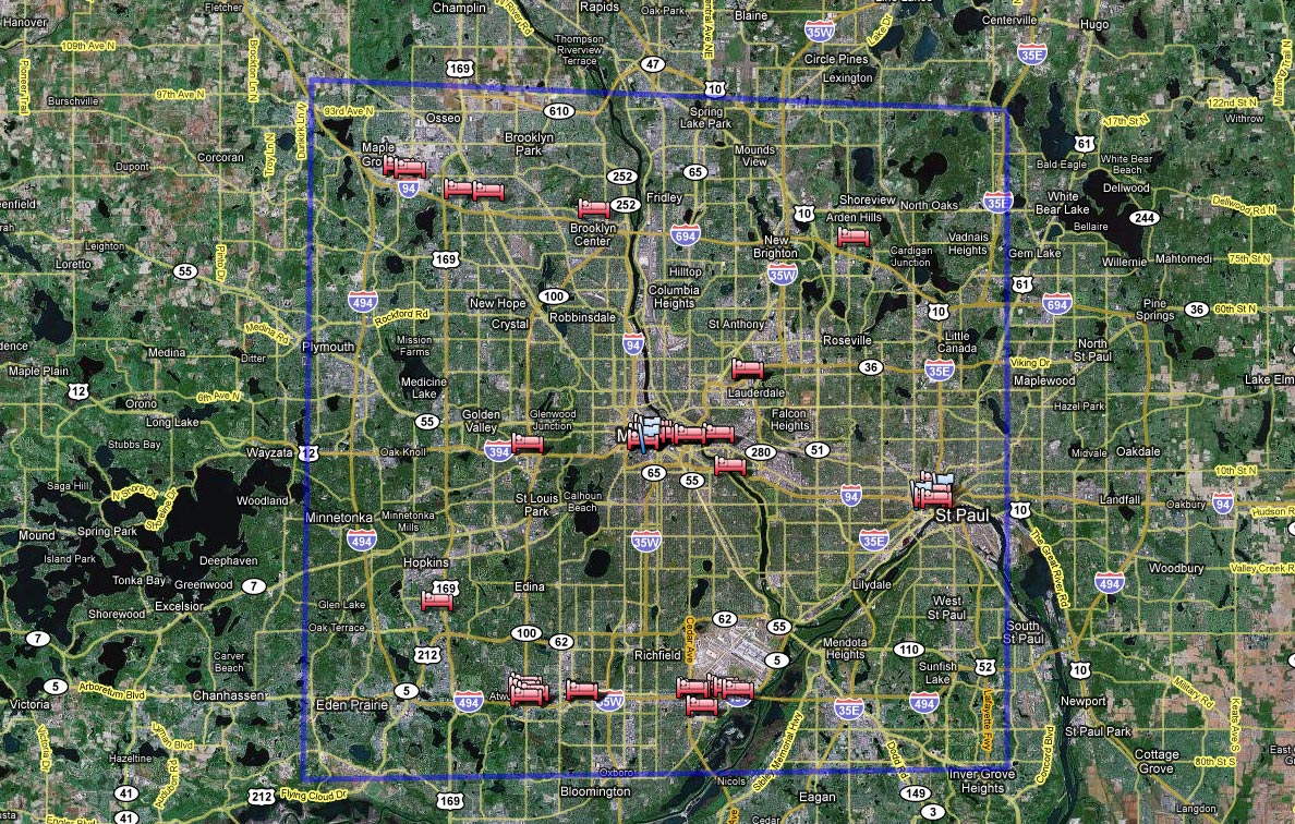
Crash the RNC: more mapage of St. Paul area
Here are some more maps to assist those planning on being in St. Paul, MN on September 1st.
This first file above is intended for local viewing on your computer only as it is too large to print (unless you have access to a large-format poster printer). The "original image" above is 6500px by 4800px and over 11mb. This map shows all seven sectors surrounding the Xcel Center in downtown St. Paul, and the RNC Welcoming Committee's convergence center at 627 Smith Ave S represented by the green house south of the river.
There are tabloid-sized printable maps below.
Also see http://www.indybay.org/newsitems/2008/07/31/18521364.php for Sector 4 maps and other info.
Don't forget to attend UA in the Bay's final organizing meeting at the Long Haul this Sunday, August 10th.
See you on the streets of St. Paul!
There are tabloid-sized printable maps below.
Also see http://www.indybay.org/newsitems/2008/07/31/18521364.php for Sector 4 maps and other info.
Don't forget to attend UA in the Bay's final organizing meeting at the Long Haul this Sunday, August 10th.
See you on the streets of St. Paul!
Add Your Comments
We are 100% volunteer and depend on your participation to sustain our efforts!
Donate

$115.00 donated
in the past month
Get Involved
If you'd like to help with maintaining or developing the website, contact us.
Publish
Publish your stories and upcoming events on Indybay.
Topics
More
Search Indybay's Archives
Advanced Search
►
▼
IMC Network